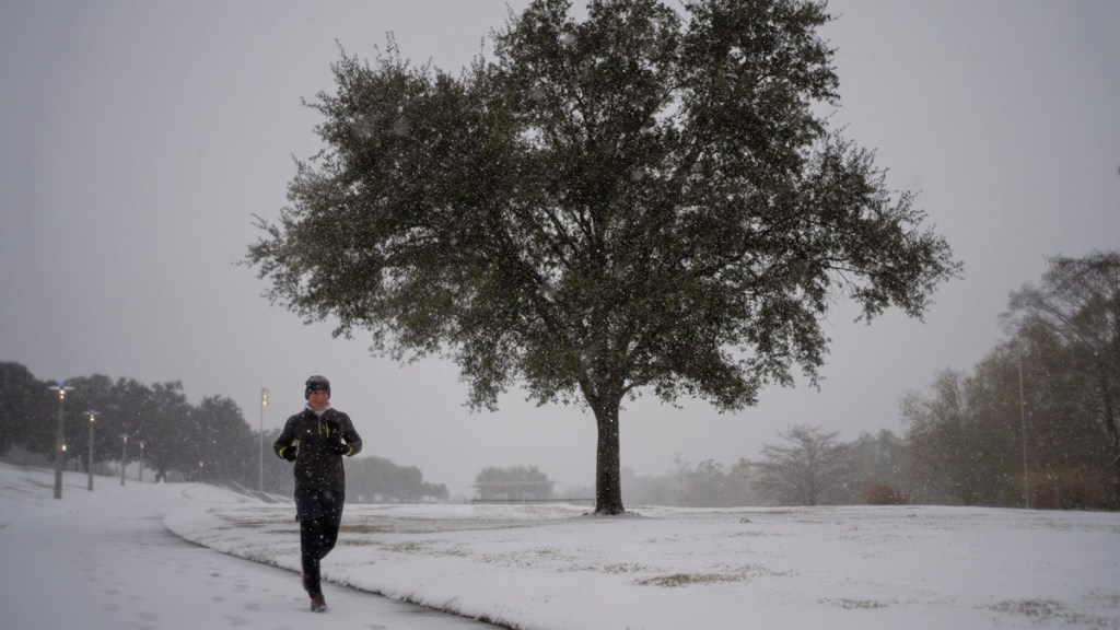
Winter Storm Enzo is expected to cause many more inches of snow to fall as the system continues to blast the southern United States through to Wednesday, January 22. By Tuesday morning alone, per the Austin American-Statesman, Houston has received 4 inches of snow and Rayne has received over 10 inches. This rare combination of snow, ice, and freezing rain will continue to hit the US over the next 24 hours, particularly in the states of Louisiana, Alabama, Mississippi, Georgia, South Carolina, North Carolina, and even some parts Florida. Here is tomorrow’s snow forecast for Winter Storm Enzo.
How much more snow will Winter Storm Enzo bring by tomorrow?
By Wednesday morning, Winter Storm Enzo is expected to bring anywhere from 3 to 8 inches of snow in southern Georgia near Savannah and up along the eastern coast of North Carolina and South Carolina. Most other areas impacted by the storm will only get about 3 inches or less of snow, while the majority of Florida will experience several inches of rain.

A map of this forecast by The Weather Channel shows that cities like New Orleans, Montgomery, Savannah, Wilmington, and perhaps Tallahassee will continue to be pelted with snow as Enzo moves eastward.
As predicted last week, the intensity and low temperatures of the storm are caused by moisture drawn from the Gulf of Mexico by northeastern winds while a sharp cold front brings unexpected arctic air to the region. Enzo has already caused power outages for over 10,000 residents in Texas, per PowerOutage.us.
Fortunately, current models predict that the jet stream will move the system quickly toward the East Coast, so Enzo shouldn’t linger for more than a day and pass by Wednesday afternoon or evening.
That said, many cities and towns in the South are not as prepared for this level of snowfall, so travel conditions will be hazardous for several days. Some of these areas have not been under a winter weather advisory before or haven’t seen one for over a decade, according to a report by weather expert Ryan Hall on Monday.
Also, frigid temperatures from the arctic cold front are projected to remain until Friday and Saturday, so several inches of snow could stay and not melt away due to the colder ground. It won’t be until around Sunday that warmer temperatures are expected to move over the southern States and clear much of the snow.


