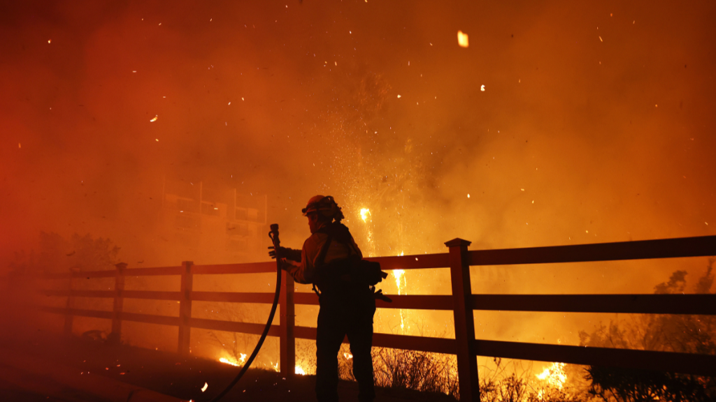
A recent map update shows the Malibu fire, which authorities have now dubbed the Franklin Fire, has spread across thousands of acres. The brush fire sparked near Pepperdine University on Monday night, prompting mandatory evacuations in the threatening conditions. ABC 7 has been sharing constant live updates on the devastating situation while authorities and firefighters battle the flames. First responders are also assisting in road closures and the evacuation process in the Malibu area. Reportedly, the strong Santa Ana winds fueled the blaze to burn over 2,800 acres of land on the Los Angeles County coast.
Franklin Fire had grown to 2,850 acres, affecting 6,000 people
ABC 7 shared a map of the Franklin Fire, sharing live updates concerning the blaze that started with nearly 10 acres and has now spread across thousands of acres. Officials released a real-time map of the Malibu fire that shows the destruction perimeter and the mandatory evacuation areas. This evacuation order impacts residents in the east of Malibu Canyon Road, south of Piuma Road, and the Serra Retreat area. Despite starting near Pepperdine University and causing significant power outages, the blaze “is not currently threatening the campus,” shared the institution on social media.
According to the Los Angeles Times, the Malibu fire had fanned across 2,850 acres by Tuesday afternoon with failed containment. Other updates show that the fire in Franklin has impacted around 6,000 people, but the number continues to grow as it rapidly spreads further. Not only that but an estimate reports that the evacuations affect about 20,000 people. In addition, these flames have affected more than 2,000 structures, destroyed at least seven, and damaged another eight.
Reportedly, officials have also ordered evacuation warnings in the east of Las Virgenes. This affects the areas between Mulholland Highway to the north and Piuma Road to the south. Other clearance orders
are for the areas between Stunt Road to the north and Los Flores to the south, east of Carbon Beach Terrace, west of Old Malibu Road, and north of Pacific Crest Highway to the evacuation order boundary.
The Los Angeles County Sheriff’s Department has been active on the ground, sharing crucial information concerning the Malibu fire as well as safety measures. Furthermore, the fire department has deployed more than 1,500 firefighters who are presently fighting the flames.


