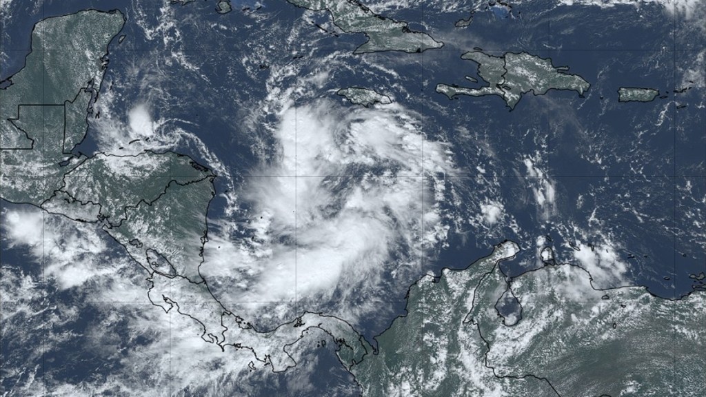
The most likely path for Hurricane Sara is on track to hit the United States according to early tracker models today, November 13. Formally known as Invest 99L, Sara is expected to develop from a tropical depression in the Caribbean Sea as early as tomorrow. A recent report from the National Hurricane Center (NHC) has upgraded the potential of a tropical storm forming in the region to a high 90% chance over the next 48 hours. In addition, spaghetti models for Hurricane Sara have it crossing through the US soon.
When will Hurricane Sara impact the United States?
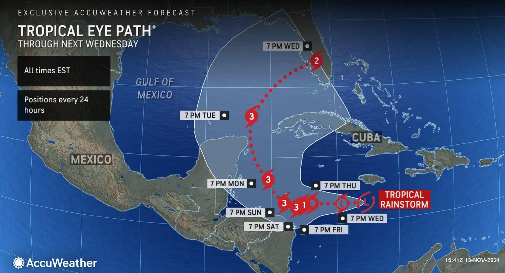
Hurricane Sara is projected to hit the US, somewhere around Florida, some time between Wednesday, November 20, to Thursday, November 21, based on several models. This projection might change by a several days as we learn more over the next week.

Spaghetti models from the American tracker (GFS), via Tropical Tidbits, on November 13 have a wide range of possibilities for where Hurricane Sara might head over the next week. Some paths have it move through western Cuba while others have it pass into the Yucatan Peninsula in Mexico. But the most likely path has the system head between these two extremes and up toward Florida.
This projected track is shared by meteorologist Brian Shields, who reports that both the American and European models have Hurricane Sara curling to the southeastern US within a week’s time. He shares that the strength of this storm will depend on whether it passes through Mexico and Belize.

Accuweather predicts that the eye of Hurricane Sara will hit Florida by late Wednesday as a Category 2 storm. This is after weakening from a Category 3 hurricane as it generates strength in the Caribbean over the next four or five days. Ocean temperatures in the area remain high, so rapid intensification could make the system even stronger.
That said, the National Center of Atmospheric Research (NCAR) is more conservative with the path of Hurricane Sara. Its early-cycle track on November 13 has it moving slowly to the west over the next 120 hours without as much movement as the other models.
It should be noted that the path of any system like this can change significantly, as it did with Hurricane Rafael last week, but we will know more as the week progresses.


