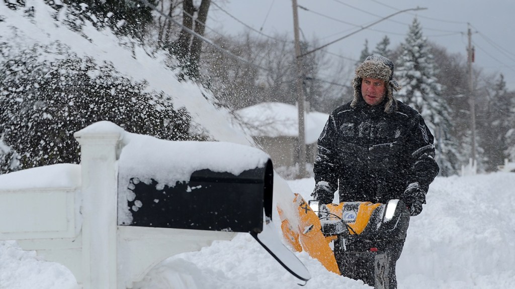
Yet another winter storm will batter the northeastern United States with even more snow in the first week of December. Lake-effect snowfall during the Thanksgiving weekend has already blasted many states, including Michigan, Ohio, Pennsylvania, and New York, with as much as five feet of snow. Yet another storm is expected to impact the region from Tuesday to Friday, December 6, as a cold front moves eastward. While the amount of snow that’s expected to drop is not as severe as it was in last week’s storm, it still has the potential to cause whiteout conditions and will delay recovery efforts in clearing the snow that has already fallen.
What is the snowfall forecast for the northeast US?
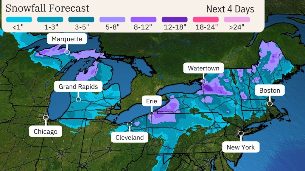
Through to Friday, up to 12 inches of snow will fall in particular areas of the northeastern United States, with the majority of states from Michigan to Maine getting an average of around 3 inches of snow.

This forecast is projected by The Weather Channel, which expects that various cities like Marquette, Erie, and Watertown will receive around 5 to 8 inches of snow over the rest of the week. Some areas, notably northwest Pennsylvania, could experience an additional foot of snow.
A cold front called an “Alberta Clipper” from Canada will move across the United States, creating snow squalls that can suddenly reduce visibility. It is recommended that those traveling by road on Wednesday and Wednesday night, particularly in the areas around the Great Lakes, do so carefully. This is because snow squalls can bring traffic to a standstill and increases the risk of multiple-vehicle accidents.
As noted by Accuweather, one of the main dangers from this storm is the blowing and drifting snow due to it possibly becoming dry and powdery in nature. On Wednesday and Thursday, winds are expected to average 30 to 50 mph in an eastern direction, with some gusts of 65 mph near the Great Lakes.


